

For more information about the Public Environmental Data Partners (PEDP) or to search our updated data catalog, visit our new website at publicenvirodata.org.
Restoring and retaining access to tools that serve everyone
The Public Environmental Data Partners (PEDP) are filling gaps left by the federal government’s by maintaining and developing powerful, community-driven tools that enable people to advance clean air, water, and climate protections.
These tools help us to make sense of our environment and the potential impacts of investments in communities.
They also contain critical information about infrastructure that helps guide emergency response and recovery.
ENVIRONMENTAL JUSTICE TOOLS
Environmental justice is a commitment to all communities having equal rights to fresh air, clean water, and access to green spaces. These tools were developed by the federal government to identify overburdened and underserved communities.
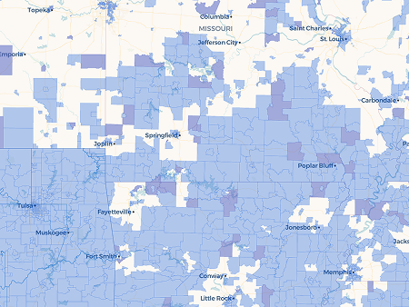
CLIMATE AND ECONOMIC JUSTICE SCREENING TOOL (CEJST)
The CEJST was created by the White House Council on Environmental Quality and the U.S. Digital Service. It identifies disadvantaged communities based on a methodology developed by CEQ, using census tracts.
Version 2.2
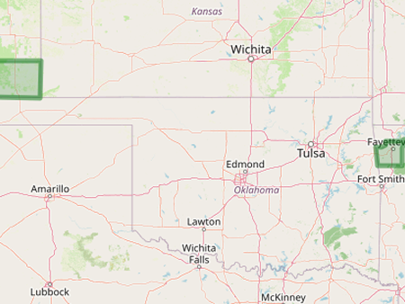
EJAM
EJAM was developed by the Environmental Protection Agency to enable multi-site environmental analysis via generated reports using EJScreen data at the census block group level.
Version 3.2022.3
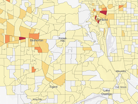
EJSCREEN
EJScreen was developed by the Environmental Protection Agency to provide comprehensive environmental, demographic, and other information at a national scale using census block groups.
Version 3.2022.3
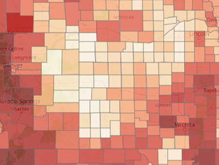
FUTURE RISK INDEX
The Future Risk Index was developed by the Federal Emergency Management Agency to model climate and economic risk under a variety of scenarios at the census tract level.
Version 1.0.0
INVESTMENT MAPPING TOOLS
These maps identify where investments are occurring and what supported projects are being developed in their areas, to engage more effectively with the projects, and to build long-term support.
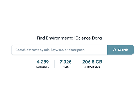
EPA SCIENCE HUB
This tool is a mirror of the Environmental Protection Agency’s (EPA) Science Hub which hosts environmental science datasets so that they are discoverable and searchable for public use.
Version 1.0
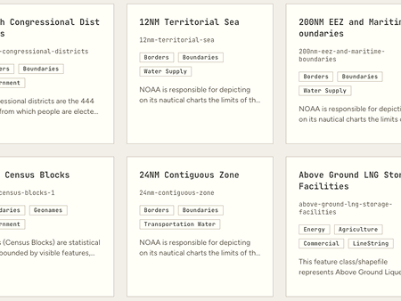
HOMELAND INFRASTRUCTURE FIELD-LEVEL DATA (HIFLD NEXT)
The HIFLD Next catalog holds the infrastructure - and resilience - related datasets that were previously accessible through the Department of Homeland Security’s HIFLD Open Data Portal.
Version v1.0.0
OTHER TOOLS
These tools provide access to environmental science and comprehensive infrastructure datasets that are useful for planning, advocacy, and emergency response and recovery.
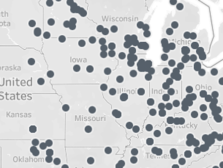
LOCAL INVESTMENTS MAP
The Local Investments Map was developed by the Department of Energy (DOE) and last updated in January 2025 to share commitments for local engagement and investment made by projects funded under the Bipartisan Infrastructure Law (BIL) and Inflation Reduction Act (IRA).
Version 1.0
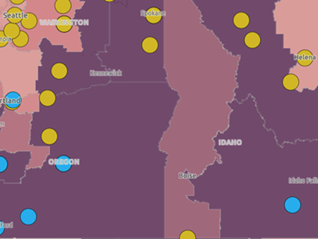
EPA EJ GRANTS MAP
This map displays the environmental justice grants the Environmental Protection Agency (EPA) has made through the Inflation Reduction Act since 2024. This map is not comprehensive and displays here a large number of the potentially affected grants.
Version 1.0
Updates
[March 24, 2026] PEDP launched version 2.1 of CEJST, with a new feature that helps users identify areas where communities experience high shares of burdens. Provide feedback on the tool.
[March 17, 2026] PEDP released HIFLD Next, a PEDP portal that holds hundreds of infrastructure- and resilience- related data layers that were previously stewarded by the Department of Homeland Security. Read more about this project.
[June 19, 2025] PEDP created a guide for Environmental Data Mapping & Investment Tools, helping people understand the differences between the tools
[March 19, 2025] PEDP created a new map that displays environmental justice grants the US Environmental Protection Agency (EPA) has made through the Inflation Reduction Act since 2024
[February 28, 2025] Access to DOE Local Investment Map for Demonstration and Deployment Projects was made publicly available
[February 27, 2025] Access to FEMA’s Future Risk Index was made publicly available
[February 14, 2025] Access to EPA EJAM was made publicly available
[February 7, 2025] Access to EPA EJScreen was made publicly available
[January 31, 2025] Access to CDC’s datasets for the Social Vulnerability Index and Environmental Justice Index, along with county level reports for EJI, was made publicly available
[January 24, 2025] Access to Climate and Economic Justice Screening Tool was made publicly available